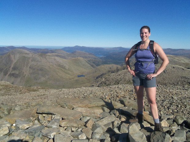
Early October provided us with some fabulous weather in the Lake District, and after a busy summer in Keswick, we couldn’t turn down the opportunity to get out onto the fells. There are some fells, however, that seem particularly prone to cloud cover irrespective of the weather in general. Visitors to Keswick will be well aware that nearby Skiddaw is one such peak – the day may be warm and sunny, but more often than not, Skiddaw will be wearing a little white cap of cloud, spoiling the view for anyone who has made the arduous trek to the top. Another area that seems to suffer from its own microclimate is the head of Borrowdale, which unfortunately counts some of the highest peaks in England as its neighbours. Many a fell walker will have set out on a beautiful morning, only to find themselves in mist, rain and high winds on Great Gable or the tops of the Scafell range. For once, however, all the signs were that the day would be totally clear no matter where we went, so we thought why not go for the highest of the lot – Scafell Pike.
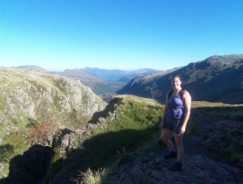
The Lake District is actually a pretty small place, although the nature of the terrain means that the roads often go the long way round. As such, Scafell Pike is actually a surprisingly short distance from Keswick, despite not seeming so at first glance. The starting point for our climb was at the head of Borrowdale at Seathwaite, only a ten minute drive from Keswick. Experienced walkers will be very familiar with Seathwaite as the starting point for numerous walks up numerous fells, so getting there early is always worthwhile if you want to park near the top of the road (which terminates in a dead end at Seathwaite Farm). We arrived at around 9a.m., at which time the sun had yet to cast its warm glow on the valley and the temperature was hovering around a chilly 4˚C. Our route was to take us across Stockley Bridge and up the Grains Gill path to Esk Hause, the high saddle between Borrowdale, Langdale and Eskdale.

The Grains Gill path provides one of the more gradual ways onto the high ground, rising to around 2000ft/610m above sea level in the course of less than 2 miles. All of the time, the view back down Borrowdale opens up, whilst the looming cliffs of Great End grow ahead. The route continues upwards to Esk Hause, which at around 2490ft/759m is generally considered to be the highest mountain pass in Lakeland. The views from here are also fantastic, with Morecambe Bay and the Irish Sea appearing to the south west. Also now within touching distance it seems, are the peaks of the Scafell range, the highest tops in England, but now less than 200 vertical metres above.
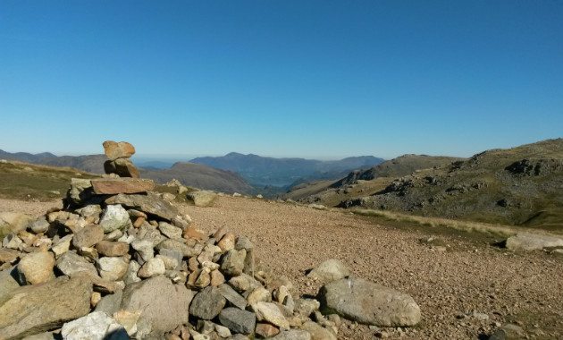
As the weather was so good and the views so far reaching, we decided first to climb to the summit of Great End, at 2986ft/910m the fifth highest mountain in England. From Esk Hause, the path rises sharply but easily to another higher saddle of land. Turn right and you rise onto the flat, rock strewn top of Great End, which finishes abruptly in precipitous north east facing cliffs. From here the view stretches along the full length of Borrowdale with Keswick and Skiddaw in the distance. To the east, Ingleborough in the Yorkshire Dales stands distinctively on the horizon. Closer at hand, the only marginally lower Great Gable looks almost close enough to step across onto, whilst directly below Sprinkling Tarn appears as if in miniature.


Retracing our steps for a short while and following a rocky scramble, the path crosses the 3000ft/914m contour and begins to head apparently straight for Scafell Pike, now filling the skyline ahead. A short deviation, however, takes you to an often forgotten top with spectacular views – Ill Crag. Despite being 3068ft/935m above sea level (and therefore one of the highest points in England), most people ignore Ill Crag in their desire to summit the parent peak. What they are missing is wonderful rocky belvedere, perched above the depths of Eskdale, with Morecambe Bay sparkling away in the distance. A short rocky hop takes you back to the main path and past another often forgotten and even higher top, Broad Crag. At this point, however, the path drops suddenly into a shallow cleft, and you realise that the way onto Scafell Pike itself involves a near vertical climb up rock and scree covered slopes. Fortunately, the climb isn’t a long one, and the path eventually levels out and heads for the oversized cairn which marks the highest point of England.
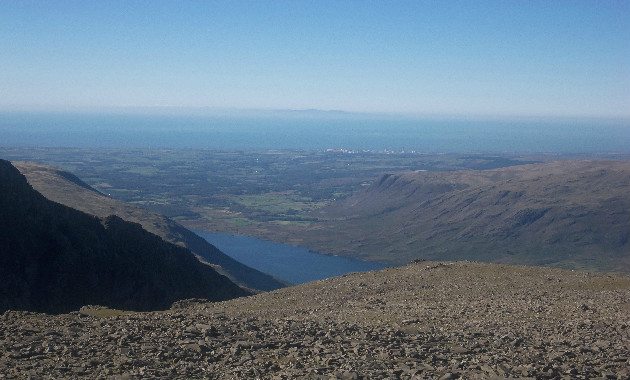
As befits the highest point in the area, the views are extensive in all directions. To the west, the coast seems no distance away with the sprawl of the Sellafield complex easily mistaken for a small town. Further away and weather allowing, the Isle of Man is clearly visible with the peak of Snaefell silhouetted against the sky. To the north, look over the jumble of peaks and the Solway Firth into Scotland, with the hills of the Southern Uplands rising in the distance. To the south, the view stretches over Morecambe Bay into Lancashire. Those with particularly good eyesight and a very clear day may even be able to pick out Blackpool Tower!
Our route down was to take probably the most popular route up – the corridor route to Styhead. This undulating path clings to the north side of the mountain before arriving a Styhead Tarn, another saddle of land well known to walkers and now home to a mountain rescue stretcher box (which obviously we didn’t need!). From there, the path drops steadily back to the starting point, our walk taking around 6 hours in total, including photo stops and lunch. About 10 minutes later and we were back in Keswick, ready for a treat of a meal out at the Royal Oak, which incidentally has definitely upped its game recently as a place to eat – but that’s perhaps for another blog!